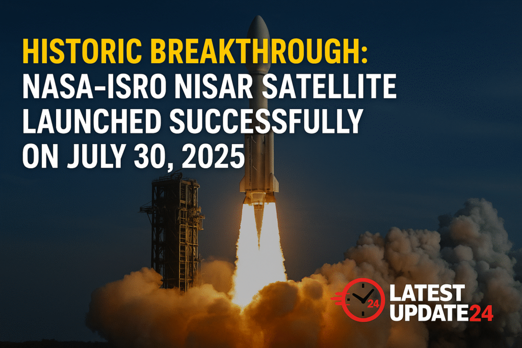
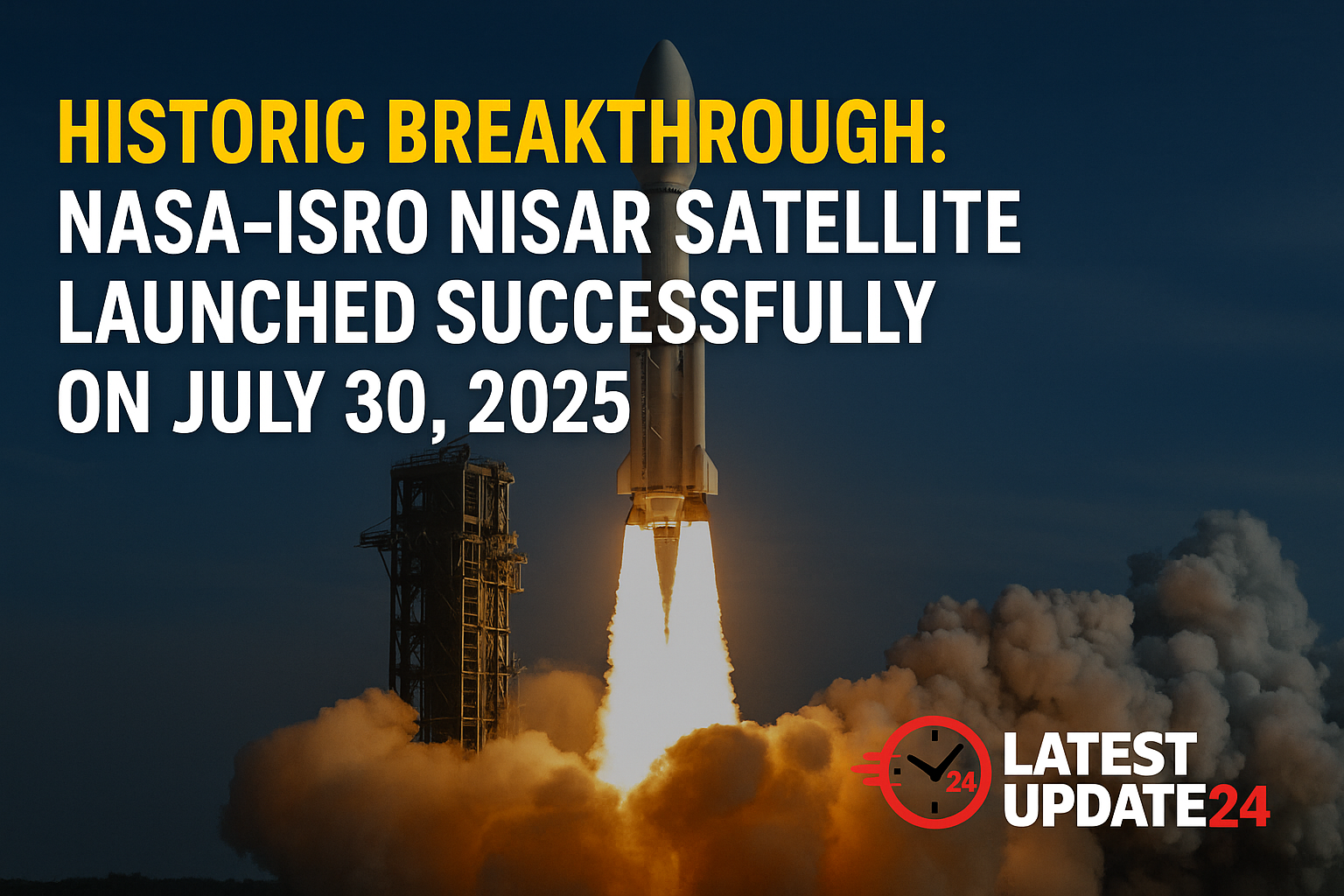
Historic Breakthrough: NASA-ISRO NISAR Satellite Launch Successfully Boosts Global Earth Monitoring

The NASA-ISRO NISAR Satellite Launch on July 30, 2025, marks a historic breakthrough in global space collaboration and climate science. Launched aboard the GSLV-F16 rocket from Sriharikota, the satellite will enable real-time, high-resolution Earth observation to help fight climate change, manage disasters, and monitor environmental changes across the globe.
🌍 What is the NISAR Mission?
NISAR stands for Nasa-Isro Synthetic Aperture Radar. It is the first Earth observation satellite equipped with dual-frequency radar technology (L-band and S-band), developed jointly by NASA and ISRO. This technology allows scientists to monitor subtle changes in the Earth’s surface — even during nighttime or under cloud cover.
🚀 Launch Details
- Launch Date: July 30, 2025
- Time: 5:40 PM IST
- Location: Satish Dhawan Space Centre, Sriharikota
- Rocket: GSLV-F16
- Total Mission Cost: $1.5 billion
- Expected Mission Life: 5 years (with possible extension)
🎯 Key Objectives of NISAR
The NASA-ISRO NISAR Satellite is designed to observe Earth’s natural processes and hazards. Here are its core objectives:
- Monitor earthquakes, landslides, and floods by tracking surface movements.
- Support precision agriculture by analyzing soil moisture and crop patterns.
- Track glacial movements and ice sheet dynamics in the Arctic and Himalayas.
- Study deforestation and assess forest carbon stock and biodiversity loss.
- Provide free, accessible data to the global scientific community.
🤝 A Powerful India-US Space Partnership
The launch demonstrates a powerful partnership between NASA and ISRO. NASA contributed the advanced L-band radar and other tech components, while ISRO built the S-band radar, satellite bus, and provided the launch vehicle. This is one of the most ambitious joint missions in Earth science and climate research.
Both agencies will share the data for public, academic, and governmental use. You can learn more on the official websites of
NASA and
ISRO.
🌱 Global and Local Benefits
The satellite data will empower disaster response, agricultural decisions, and environmental protection efforts. Here’s how:
- India: Early warnings for floods, improved water resource management, and better urban infrastructure planning.
- Global: Ice-sheet monitoring, global carbon stock tracking, and more accurate sea-level projections.
- Scientific Community: Open-access data for researchers, planners, and climate change strategists.
🔬 Scientific & Environmental Impact
With NISAR, scientists can observe Earth’s dynamic surface with unprecedented detail. It will help monitor over 70% of the world’s surface regularly. From tracking glacial retreat to analyzing deforestation in the Amazon, NISAR’s capabilities are game-changing.
India will also benefit from improved analytics for crop yield prediction, groundwater availability, and disaster preparedness in earthquake-prone zones like the Himalayas and Northeast India.
💬 What Experts Are Saying
“This is a giant step for Earth science. NISAR will redefine how we observe natural changes and respond to global climate threats.”
– Dr. Anita Menon, Space & Climate Analyst
📌 Frequently Asked Questions (FAQs)
What does NISAR stand for?
NISAR stands for NASA-ISRO Synthetic Aperture Radar. It is a dual-frequency Earth observation satellite.
Why is the NASA-ISRO NISAR launch significant?
It is the first satellite with dual-band radar for Earth monitoring, and a result of strategic collaboration between India and the United States.
How can I access NISAR satellite data?
NISAR data will be made publicly available through NASA and ISRO portals for researchers and the public worldwide.
✅ Final Thoughts
The NASA-ISRO NISAR Satellite Launch is more than just a technical success — it’s a historic breakthrough in how humanity collaborates to protect the Earth. With real-time monitoring, open data, and advanced radar systems, this mission is set to revolutionize our approach to disaster prevention, environmental preservation, and scientific innovation.
Stay updated on the latest in space, science, and technology only at LatestUpdate24.com.


